- Where is Mornington Peninsula?
- Mornington Peninsula is in Mornington Peninsula, Victoria, Australia. The destination guide above maps the area; the drive-times panel further down lists distances to other Victoria destinations so you can pencil it into a longer itinerary.
- When is the best time to visit Mornington Peninsula?
- Based on 30 years of climate data, the most comfortable months at Mornington Peninsula are typically September, October, December — milder temperatures, lower rainfall, and longer sunshine hours. July tends to be the trickiest month weather-wise. School holiday weeks (Easter, late June–early July, late September, mid-December–late January) get busy and prices rise, so shoulder season is usually the sweet spot if you're flexible.
- What's the weather like in Mornington Peninsula?
- Summer daytime highs average around 36°C and winter overnight lows can drop to about 6°C. Annual rainfall sits at roughly 740 mm spread across the year. The climate panel above breaks every month down — daytime high, overnight low, monthly rain, sunny days — so you can match the trip to the weather you want.
- How do I get to Mornington Peninsula?
- Most travellers arrive by road. From Dandenong Ranges it's about 86 km — roughly 1h 13m of driving via the main highway, conditions permitting. The drive-times panel above lists travel time and distance to every other Victoria destination so you can sketch out a road-trip route. Check road conditions in winter if your route crosses high country, and plan for breaks every ~2 hours.
- What are the top things to see in Mornington Peninsula?
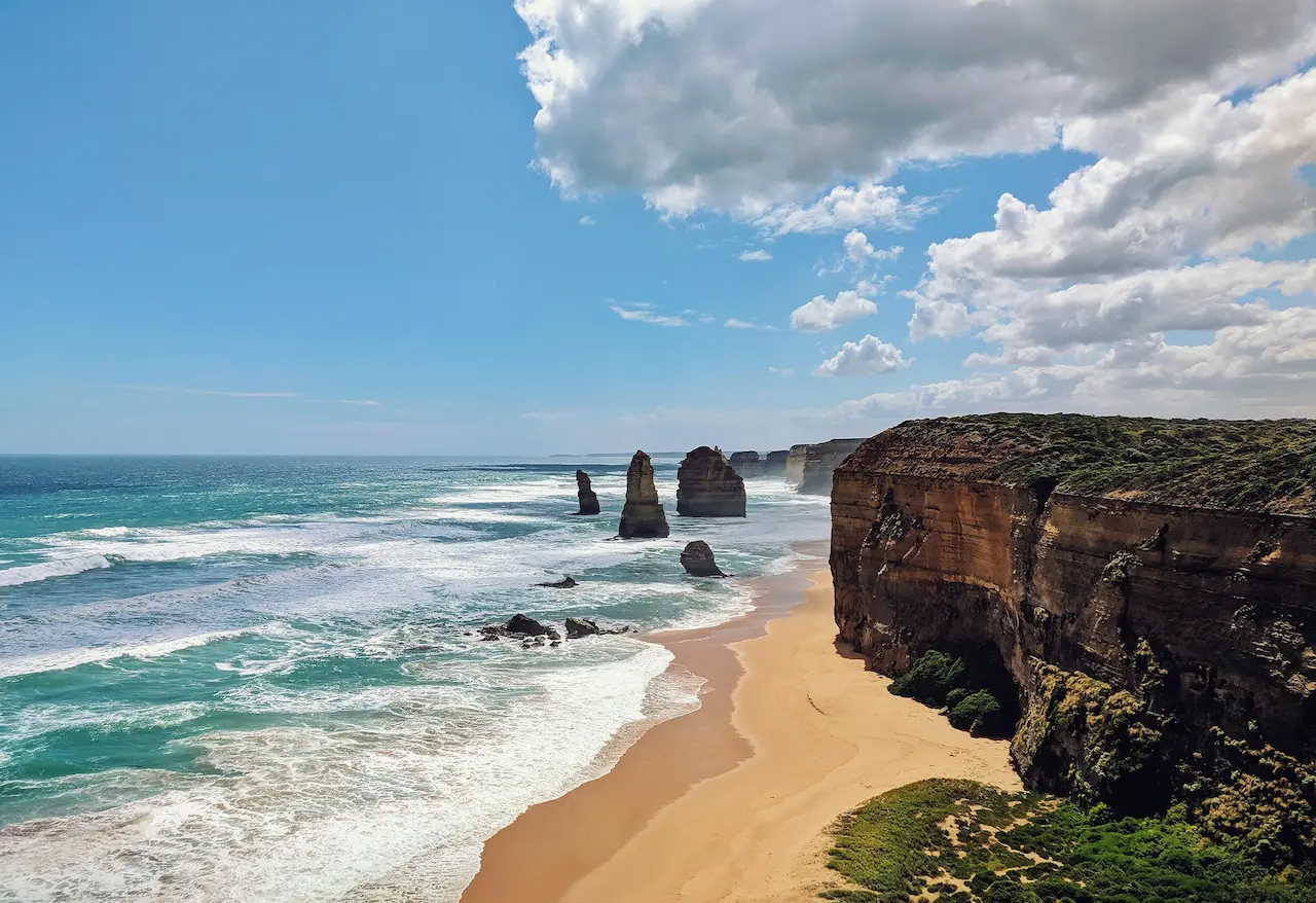
- Well-known spots within day-trip range include Franklin Point, Matthew Flinders memorial, Dromana War Memorial, Pioneers Pathway Memorial, Minister's Lookout. The "What else is around" panel above lists every named point of interest by category — lookouts, peaks, waterfalls, museums, beaches — pulled straight from OpenStreetMap. Click any name for the location, opening hours and directions.
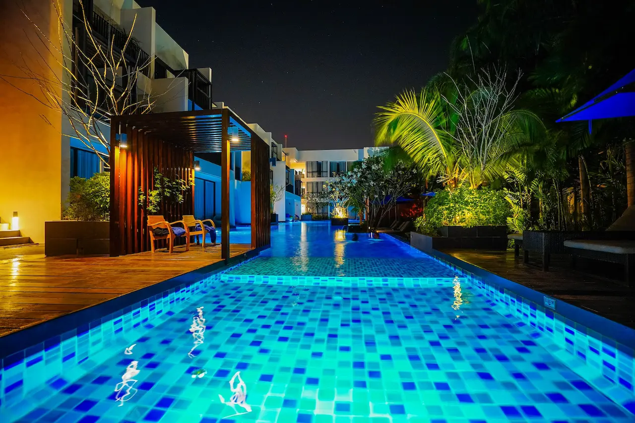
- Where can I stay near Mornington Peninsula?
- We list 3 caravan and holiday parks in and around Mornington Peninsula above — powered sites, cabins, glamping, and big-rig-friendly options. Pet rules, dump points and shaded sites are noted on each park's page. For hotel-style stays, the Drive Times panel makes it easy to base yourself in a nearby town and day-trip in.
- How many days should I spend at Mornington Peninsula?
- Most travellers spend 1–2 days at Mornington Peninsula to cover the highlights without rushing. There are 8 bookable tours and experiences, 0 attractions and 5+ named viewpoints/landmarks listed for the area on this page — plenty to fill a weekend, more if you slow down and explore the outer reaches.
- Is Mornington Peninsula good for families with kids?
- Yes — there are 23 family-friendly attractions, museums and family destinations within easy reach (zoos, aquariums, interactive museums, family-friendly theme parks). The caravan parks section above flags parks with playgrounds, kids' pools and family cabins.
- What day trips can I do from Mornington Peninsula?
- Within ~2.5 hours' drive: Dandenong Ranges, Melbourne, Yarra Valley, Phillip Island. The drive-times panel above lists every nearby destination with road distance and travel time — pick one, drive across in the morning, and you're back for dinner.
- Is there public transport at Mornington Peninsula?
- Coverage varies — major destinations have train and bus links from the closest capital, but smaller regional towns rely on infrequent coach services. The most reliable way to explore the wider area is a hire car or your own vehicle. If you're using public transport, plan around the timetables and check the night before you travel; rural routes are often once or twice a day.
- Is Mornington Peninsula accessible for wheelchair users and reduced mobility?
- Major town centres, museums and built-up tourist precincts at Mornington Peninsula are usually accessible; bush walks and lookouts vary widely. The OpenStreetMap data underneath the "What else is around" panel records wheelchair access on individual sites — click through to any place's page for the specific accessibility info. For tours, check the operator's website or call ahead; most reputable operators publish their access details.
- How much does a trip to Mornington Peninsula cost?
- Budget travellers can do Mornington Peninsula on roughly $120–180 per person per day (caravan park, cooking your own, free walks); mid-range $200–350 (hotel, paid attractions, eating out once a day); higher-end $400+ (boutique stays, tours, fine dining). Fuel is the big variable — Australia's regional driving distances add up. Tours and attractions in the listings above show prices in AUD where the operator publishes them.
- Will I have phone signal at Mornington Peninsula?
- Most named destinations in Victoria have at least Telstra and Optus coverage in town. Coverage drops off quickly outside built-up areas — particularly in national parks, valleys and along long stretches of highway. If you're heading into remote areas, download offline maps before you leave, tell someone your itinerary, and consider a PLB (personal locator beacon) for serious bush walks.